Starting in the Richmond Road carpark, this walk is the ‘big brother’ of the Binyang Matta short loop.
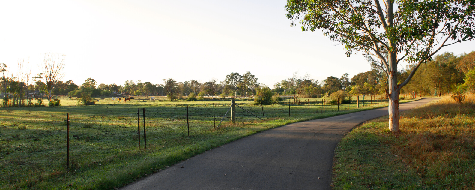
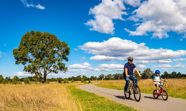
Over 6.7km, the path winds its way through grasslands, wetlands, and forests, taking in many spectacular sights in the Parkland, including the Eastern Creek crossings. Keep a look out for black shouldered kites, swift parrots, and azure kingfishers along the way. (Binyang Matta is a Dharug name for Place of Birds).
Covering 5,280 hectares and stretching over 27 km, Western Sydney Parklands is home to more than 70 km of different tracks and trails for you to explore.
| Binyang Matta trail features | |
|---|
| Suitable: | Walking, running and cycling |
|---|
| Surface: | Sealed pathways |
|---|
| Grade: | Grade 1. No bushwalking experience required. (See below for more information on track grading.) |
|---|
| Facilities: | - BBQs
- Picnic shelters
- Toilets - The closest toilets are at Nurragingy Reserve.
|
|---|
| Getting there: | You can get there by car or public transport. If travelling by public transport, it’s a 10-minute walk from Doonside Station or 10–15 minutes from Quakers Hill Station. Local residents can also walk, run or cycle into the Parklands. |
|---|
How a track gets its grade
The grading system assesses a walk’s difficulty based on several criteria, including: experience required, steps, gradient, path quality, and signage. A walk’s final grade is based on the most difficult of these 5 criteria, rather than an average. So some walks will have criteria that meet an easier grade.
View Binyang Matta trail map (PDF, 432.35 KB)